Yoritomoyama Fort: Difference between revisions
(Created page with "{{Castle |English Name=Yoritomoyama Fort |Japanese Name=頼朝山砦 |Romaji Name=Yoritomoyama-toride |Alternate Names= |Founder=Uesugi Kenshin |Year Founded=1555 |Castle Type...") |
No edit summary |
||
| Line 13: | Line 13: | ||
|Artifacts=Kuruwa, Obikuruwa, Dorui, Karabori, Horikiri, Ohte | |Artifacts=Kuruwa, Obikuruwa, Dorui, Karabori, Horikiri, Ohte | ||
|Features=trenches | |Features=trenches | ||
|Access=Access: Zenkōji-shita Station on the Nagano Line; 30 minute walk to trail head. Or 40 minute walk from Nagano Station. | |Access=Access: Zenkōji-shita Station on the Nagano Line; 30 minute walk to trail head. Or 40 minute walk from Nagano Station. Qucikest hiking trail takes half an hour or more. | ||
|Visitor Information=Free; 24/7; Mountain | |Visitor Information=Free; 24/7; Mountain | ||
|Time Required=30 minutes | |Time Required=30 minutes | ||
Latest revision as of 10:17, 24 April 2021
Yoritomoyama-toride is a satellite fortification of Minochi-Katsurayamajō, located further down the mountain. A mountain road passes between the two sites. There is a path up to Katsurayamajō, and directly below the road the ruins of Yoritomoyama-toride begin. There are a series of trenches and emba
History
Field Notes
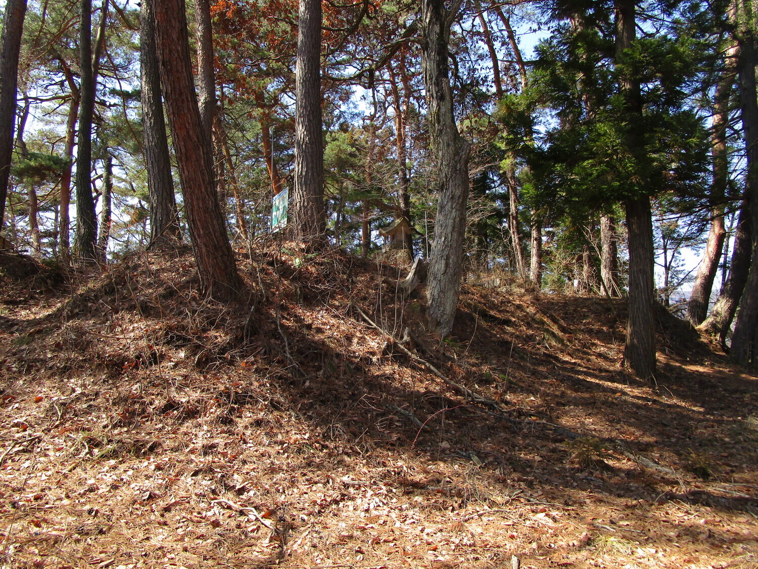
Yoritomoyama-toride is a satellite fortification of Minochi-Katsurayamajō, located further down the mountain. A mountain road passes between the two sites. There is a path up to Katsurayamajō, and directly below the road the ruins of Yoritomoyama-toride begin. There are a series of trenches and embankments before one reaches the main enclosure. This main bailey is surrounded by a ring bailey and earthen ramparts. it's a neat little fort ruin and a nice warm-up for the big mission of tackling Katsurayamajō above.
| Castle Profile | |
|---|---|
| English Name | Yoritomoyama Fort |
| Japanese Name | 頼朝山砦 |
| Founder | Uesugi Kenshin |
| Year Founded | 1555 |
| Castle Type | Mountaintop |
| Castle Condition | Ruins only |
| Historical Period | Pre Edo Period |
| Artifacts | Kuruwa, Obikuruwa, Dorui, Karabori, Horikiri, Ohte |
| Features | trenches |
| Visitor Information | |
| Access | Access: Zenkōji-shita Station on the Nagano Line; 30 minute walk to trail head. Or 40 minute walk from Nagano Station. Qucikest hiking trail takes half an hour or more. |
| Hours | Free; 24/7; Mountain |
| Time Required | 30 minutes |
| Location | Nagano, Nagano Prefecture |
| Coordinates | 36.6646, 138.16725 |
|
|
|
| Admin | |
| Added to Jcastle | 2021 |
| Contributor | ART |
| Admin Year Visited | Viewer Contributed |


