File:Tage25.jpg: Difference between revisions
From Jcastle.info
No edit summary |
No edit summary |
||
| Line 4: | Line 4: | ||
|hide=No | |hide=No | ||
|Castle=Tage Castle | |Castle=Tage Castle | ||
|GPSLocation=36. | |Description=Trail down the east ridge | ||
|Short Description=Trail down the east ridge | |||
|Description Jse=東尾根の登山道 | |||
|Short Description Jse=東尾根の登山道 | |||
|GPSLocation=36.60358, 139.80661 | |||
}} | }} | ||
{{Tags | {{Tags | ||
Latest revision as of 11:45, 26 May 2018
| Castle | Tage Castle |
|---|---|
| Photo Order | 250 |
| Hidden | No |
| Description | Trail down the east ridge |
| Short Description | Trail down the east ridge |
| Description in Japanese | 東尾根の登山道 |
| Short Description in Japanese | 東尾根の登山道 |
| Map |
| Structures | |
|---|---|
| Gates | |
| Turrets | |
| Moats | |
| Main Keep Type | |
| Main Keep Structure | |
| Condition | |
| Edo Castle Photos | |
| Samurai Home | - highlight: No |
File history
Click on a date/time to view the file as it appeared at that time.
| Date/Time | Thumbnail | Dimensions | User | Comment | |
|---|---|---|---|---|---|
| current | 08:42, 20 May 2018 | 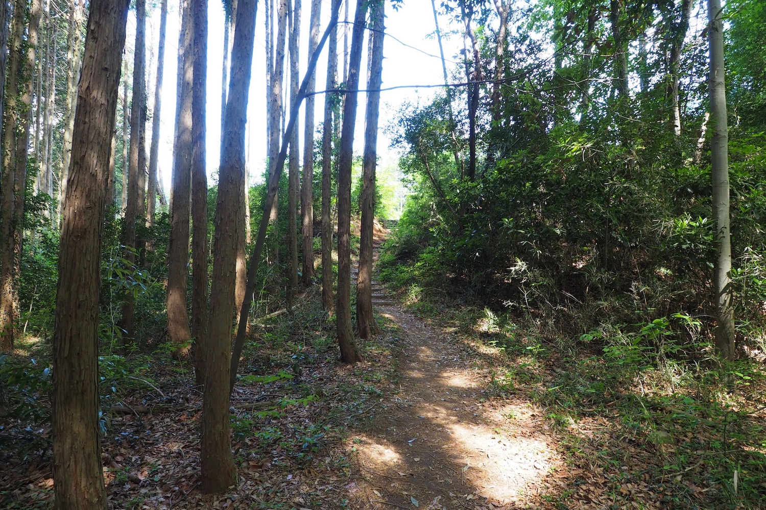 | 1,500 × 1,000 (937 KB) | Eric (talk | contribs) | uploaded by admin as batch upload |
You cannot overwrite this file.
File usage
The following page uses this file: