File:Map of the trail of Suikei-Okayamajô.JPG: Difference between revisions
From Jcastle.info
Furinkazan (talk | contribs) No edit summary |
No edit summary |
||
| Line 1: | Line 1: | ||
{{Castle Photo | {{Castle Photo | ||
|order=3 | |order=3 | ||
|Highlight=No | |Highlight=No | ||
|hide=No | |||
|Castle=Suikei Okayama Castle | |||
|Description=Map of the trail | |Description=Map of the trail | ||
|Short Description=Map of the trail | |Short Description=Map of the trail | ||
|GPSLocation=35.14043, 136.04752 | |GPSLocation=35.14043, 136.04752 | ||
| | |File name=Map of the trail of Suikei-Okayamajô.JPG | ||
}} | |||
{{Tags | |||
|HighlightSH=No | |||
}} | }} | ||
Latest revision as of 20:05, 8 June 2023
| Castle | Suikei Okayama Castle |
|---|---|
| Photo Order | 3 |
| Hidden | No |
| Description | Map of the trail |
| Short Description | Map of the trail |
| Description in Japanese | |
| Short Description in Japanese | |
| Map |
| Structures | |
|---|---|
| Gates | |
| Turrets | |
| Moats | |
| Main Keep Type | |
| Main Keep Structure | |
| Condition | |
| Edo Castle Photos | |
| Samurai Home | - highlight: No |
File history
Click on a date/time to view the file as it appeared at that time.
| Date/Time | Thumbnail | Dimensions | User | Comment | |
|---|---|---|---|---|---|
| current | 19:05, 8 June 2023 | 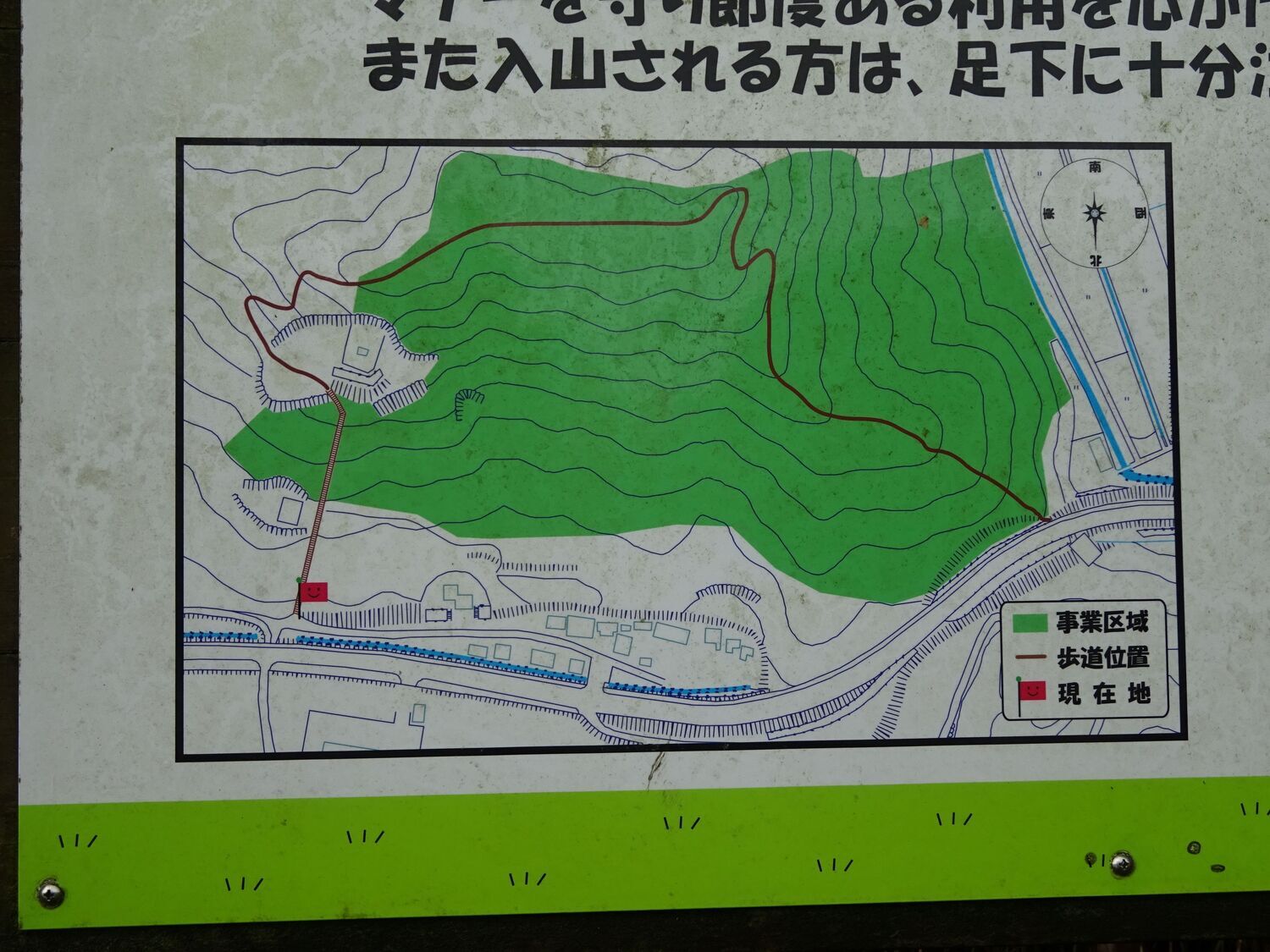 | 1,500 × 1,125 (255 KB) | Furinkazan (talk | contribs) |
You cannot overwrite this file.
File usage
The following page uses this file: