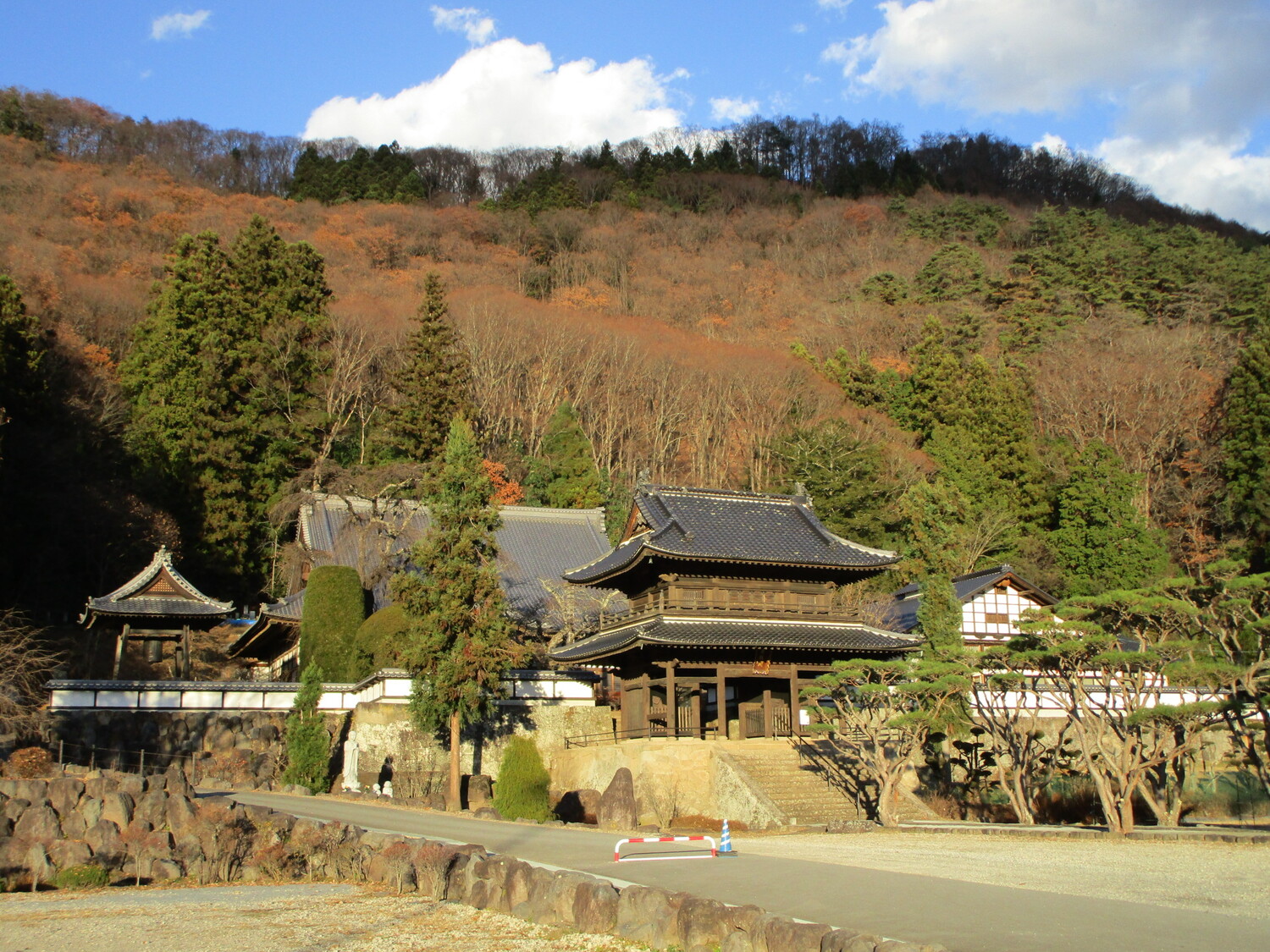
Yoda Yakata
Yoda-yakata is located at the foot of the castle-mount of Taguchijō and is now the site of the temple Hanshōin. I came here because I had intended to climb the trail behind Hanshōin to Taguchijō, a yamajiro which is largely visited for the view it provides of Tatsuokajō, the star-shaped bastion fort
History
Yoda-yakata was the fortified residence of the Yoda Clan during the Sengoku Period. In 1582, Yoda Nobushige, who had also lived at the residence, was killed in battle during the Tenshō Jingo Uprising. In 1584, his surviving brother, Yoda Yasukuni, converted the residence into Hanshōin, the clan temple, in honour of his brother (the "shige" in Nobushige is also read "Han") and family. The temple stands to this day and contains the graves of Yoda Nobushige and his wife.
Field Notes
Yoda-yakata is located at the foot of the castle-mount of Taguchijō and is now the site of the temple Hanshōin. I came here because I had intended to climb the trail behind Hanshōin to Taguchijō, a yamajiro which is largely visited for the view it provides of Tatsuokajō, the star-shaped bastion fort. However, landslides destroyed the trail earlier this year, so I had to abandon that plan and instead visited several temples in the area instead.
| Castle Profile | |
|---|---|
| English Name | Yoda Yakata |
| Japanese Name | 依田館 |
| Alternate Names | 依田信蕃館 |
| Founder | Yoda Clan |
| Year Founded | Sengoku Period |
| Castle Type | Fortified Manor |
| Castle Condition | Ruins only |
| Historical Period | Pre Edo Period |
| Features | |
| Visitor Information | |
| Access | Tatsuokajou Station on the Koumi Line; 20 minute walk |
| Hours | Free; 24/7; Temple |
| Time Required | 20 minutes |
| Location | Saku, Nagano Prefecture |
| Coordinates | 36.19893, 138.50282 |
|
|
|
| Admin | |
| Added to Jcastle | 2020 |
| Contributor | ART |
| Admin Year Visited | Viewer Contributed |


