Maruyama Castle (Ina)
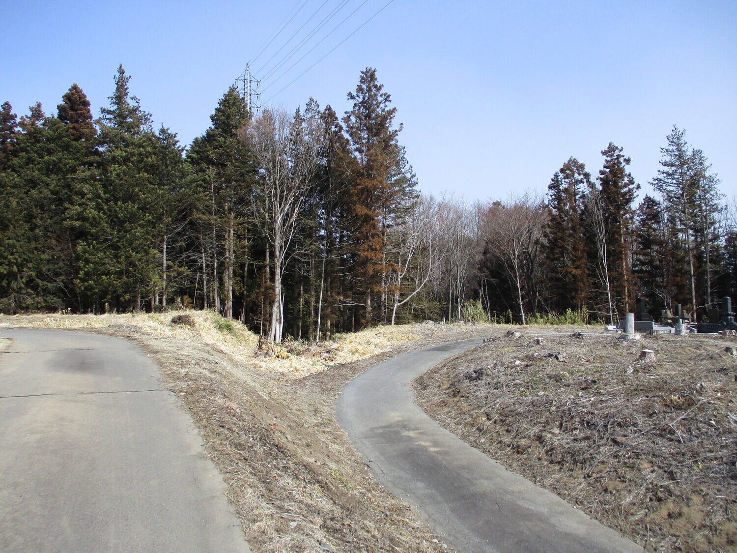
Koide-Maruyamajō is an earthworks fort site with deep, wide karabori (dry moats), multiple baileys and the remains of other earthworks such as tatebori (climbing trenches) and dorui (earthen ramparts). Luckily it had been pruned recently of bamboo growth when I visited, so the trenches were mostly c
History
Maruyamajō is technically a hirayamajiro. There used to be an outer moat to the west protecting the flatland portion of the site toward where the kasuga-kaidō, an important trade route, ran (it is now 'Nagano Prefectural Road no. 88, Ina-Minowa Line'). Maruyamajō was used as part of the network of fortifications belonging to the Koide Clan. For more information see Ina Koide Castle.
Field Notes
Koide-Maruyamajō is an earthworks fort site with deep, wide karabori (dry moats), multiple baileys and the remains of other earthworks such as tatebori (climbing trenches) and dorui (earthen ramparts). Luckily it had been pruned recently of bamboo growth when I visited, so the trenches were mostly clear. The site is now a cemetery and cedar plantation. This is a solid remnant of the Koide Castle fort network.
| Castle Profile | |
|---|---|
| English Name | Koide Maruyama Castle |
| Japanese Name | 小出丸山城 |
| Founder | Koide Clan |
| Year Founded | Medieval Era |
| Castle Type | Hilltop |
| Castle Condition | Ruins only |
| Historical Period | Pre Edo Period |
| Artifacts | Kuruwa, Karabori, Dorui |
| Features | trenches |
| Visitor Information | |
| Access | Shimojima Station on the Iida Line; 5 minute walk |
| Hours | 24/7 free; hill |
| Time Required | 30 minutes |
| Location | Ina, Nagano Prefecture |
| Coordinates | 35.81246, 137.93762 |
|
|
|
| Admin | |
| Added to Jcastle | 2022 |
| Contributor | ART |
| Admin Year Visited | Viewer Contributed |


