Seirin Fort
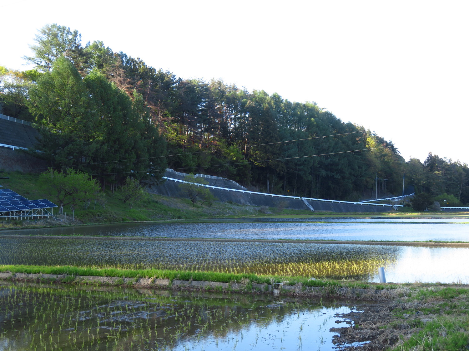
To the side of the road there is a long lateral trench, and the earth is rammed up here, overlooking the cliff. If there are ruins of Seirin-Toride ("East Woods Fort") here, this is probably it. A foot path leads down to the road below through the former site of the fort, which is now wooded slopes
History
One of many minor forts built by the Nishimaki Clan to protect their bases at Ota Yakata and Azumi Nishimaki Castle. The forts were built along a cliff overlooking a river plain.
Field Notes
To the side of the road there is a long lateral trench, and the earth is rammed up here, overlooking the cliff. If there are ruins of Seirin-Toride ("East Woods Fort") here, this is probably it. A foot path leads down to the road below through the former site of the fort, which is now wooded slopes and farmland.
| Castle Profile | |
|---|---|
| English Name | Seirin Fort |
| Japanese Name | 西林砦 |
| Alternate Names | Nishibayashi-toride |
| Founder | Nishimaki Clan |
| Year Founded | Sengoku Period |
| Castle Type | Hilltop |
| Castle Condition | Ruins only |
| Historical Period | Pre Edo Period |
| Artifacts | Yokobori, Dorui |
| Features | trenches |
| Visitor Information | |
| Access | Hata Station on the Kamikouchi Line; 40 minute walk |
| Hours | 24/7 free; farmland |
| Time Required | 15 minutes |
| Location | Matsumoto, Nagano Prefecture |
| Coordinates | 36.21804, 137.85491 |
|
|
|
| Admin | |
| Added to Jcastle | 2020 |
| Contributor | ART |
| Admin Year Visited | Viewer Contributed |


