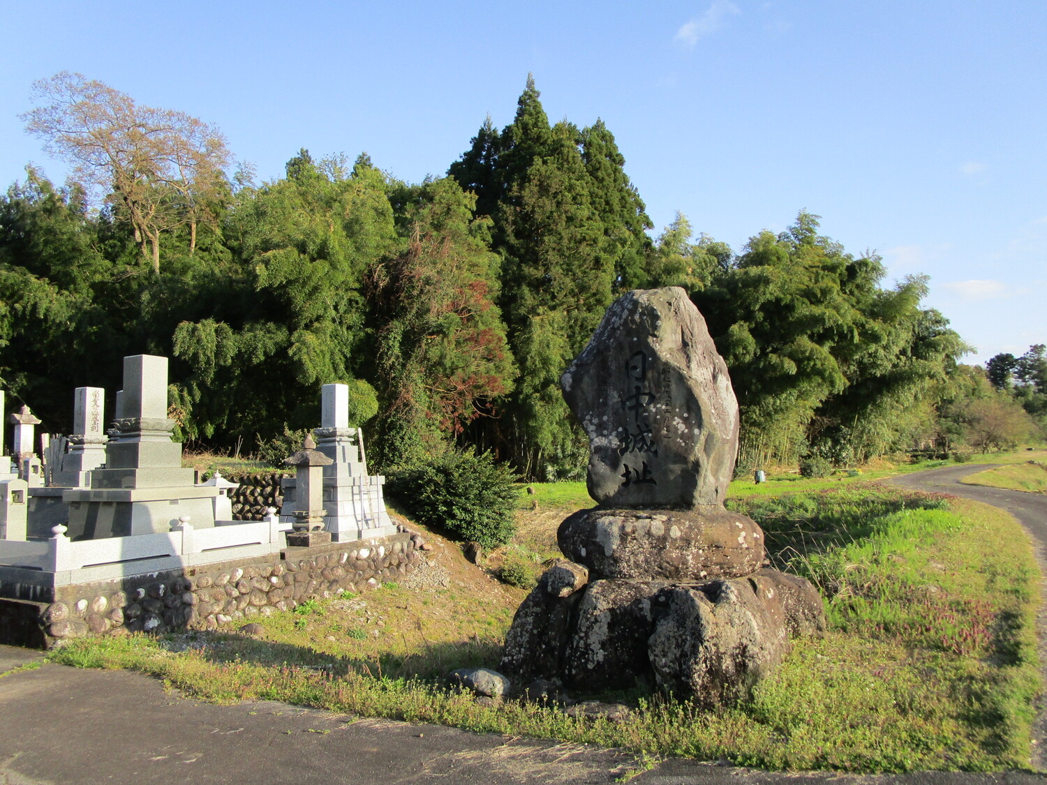
Nitchu Castle
Nitchūjō, also called Nitchū-toride (toride = "fort"), is a (sort of) satellite fort of Yuminoshōjō located across a river on a cliff line. It has karabori (dry moats) and a dobashi (earthen bridge). At the rear of the site the karabori slopes down the cliff line as a tatebori (climbing moat). The s
History
Sasa Narimasa constructed Nitchūjō – along with the Gouda Fort - as a base for his operations against and siege of Yumishōjō in 1583. For more information please see my profile on Yuminoshou Castle.
Field Notes
Nitchūjō, also called Nitchū-toride (toride = "fort"), is a (sort of) satellite fort of Yuminoshōjō located across a river on a cliff line. It has karabori (dry moats) and a dobashi (earthen bridge). At the rear of the site the karabori slopes down the cliff line as a tatebori (climbing moat). The small enclosure is surrounded by dorui (earthen ramparts). Nitchūjō was a small fortification in a simple square layout. The site is now a cemetery.
| Castle Profile | |
|---|---|
| English Name | Nitchuu Castle |
| Japanese Name | 日中城 |
| Alternate Names | Nitchū-toride |
| Founder | Sasa Narimasa |
| Year Founded | 1583 |
| Castle Type | Hilltop |
| Castle Condition | Ruins only |
| Historical Period | Pre Edo Period |
| Artifacts | Dobashi, Dorui, Karabori, Tatebori |
| Features | trenches |
| Visitor Information | |
| Access | Tazoe Station on the Toyama Area Rail Tateyama Line; 45 minute walk |
| Hours | Free; 24/7; Cemetery |
| Time Required | 20 minutes |
| Location | Kamiichi, Toyama Prefecture |
| Coordinates | 36.67398, 137.35526 |
|
|
|
| Admin | |
| Added to Jcastle | 2021 |
| Contributor | ART |
| Admin Year Visited | Viewer Contributed |
| Friends of JCastle | |
| Hōrōki | |


