Wakatsukiyama Bandoko Castle
The 'Wakatsukiyamajō Bandoko', a yamajiro (mountaintop castle) site in the Wakatsuki area of Nagano Municipality, is a satellite fortification of Wakatsukiyamajō. This 'guardhouse' is shown on a map in the main castle's main bailey as a single bailey fortification. The map was a substantial undertak
History
See Wakatsukiyamajō.
Field Notes
The 'Wakatsukiyamajō Bandoko', a yamajiro (mountaintop castle) site in the Wakatsuki area of Nagano Municipality, is a satellite fortification of Wakatsukiyamajō. This 'guardhouse' is shown on a map in the main castle's main bailey as a single bailey fortification. The map was a substantial undertaking and the work of legend of Shinano yamajiro, Miyasaka Takeo (I was surprised to learn that he's still with us, as he is revered in such a way that would naturally have one assume he had passed on; he must be over 90 years old). And yet, did he drop the ball on this one? Even masters make mistakes.
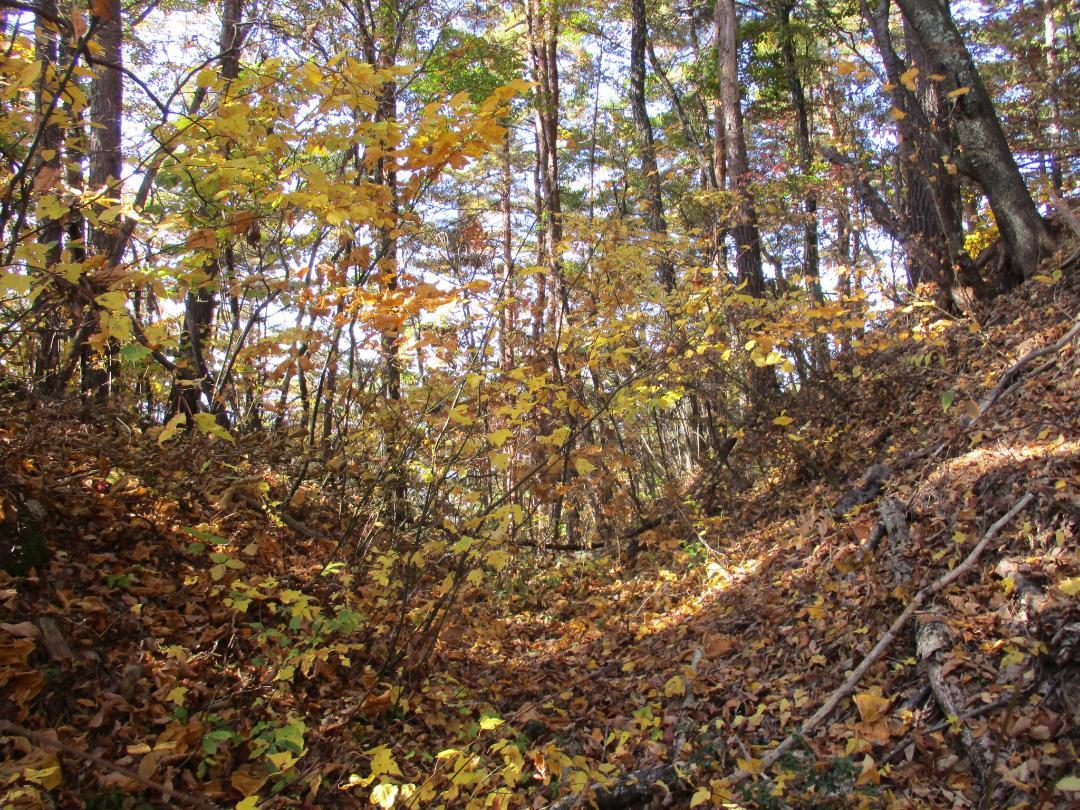
As many subsequent castle-explorers have discovered - and many others, tricked by the incomplete map, have regretted missing - the so-called bandoko is no mere guardpost, but an expansive yamajiro unto itself. Rather than a single bailey and trench, there are two integral baileys and seven trenches! And the baileys, though narrow, give way to some very large and impressive trenches as much as 10m deep. The last four horikiri (trenches) form a row - a quadruple trench complex! The description 'guardhouse' is inconsistent with this considerable fort.
The first bailey of the bandoko is surrounded by thick dorui (earthen ramparts), and there are signs of masonry. It certainly feels like the kind of cosy fort used as a signal tower. The second bailey is more exposed, but has dorui heaped up to the rear. There are three horikiri between the first and second bailey, with some ridgeline between each, and four horikiri in a row behind the second bailey. The path along the ridge runs through the horikiri to the immediate rear of the second bailey.
It's not exactly a fun climb up to the bandoko because the ridge between it and the main castle is so steep, and so I'm glad I saw everything. It's a shame that many castle fans or casual explorers who do not first do their research may miss out on the extensive remains up here. I know it's sacriledge against the 'god of Shinano yamajiro', but maybe his map should be removed, modified or contextualised so that more visitors don't miss out on the outermost fortifications of Wakatsukiyama.
A note on readings: keeping in Shinano's tradition of being populated by a bunch of untamable mountain bumpkins (<3), usual pronunciations are sometimes discarded by locals in favour of the vernacular flavour. The term for 'guard post' in Japanese is 'bansho', but here it is apparently called 'bandoko' instead.
| Castle Profile | |
|---|---|
| English Name | Wakatsukiyama Bandoko Castle |
| Japanese Name | 若槻山番所城 |
| Alternate Names | Wakatsukiyamadejō (若槻山出城) |
| Founder | Minamoto Yoritaka; Uesugi Kenshin |
| Year Founded | Late 17th Century |
| Castle Type | Mountaintop |
| Castle Condition | Ruins only |
| Designations | Local Historic Site |
| Historical Period | Pre Edo Period |
| Artifacts | Horikiri, Kuruwa, Dorui, &c. |
| Features | trenches |
| Visitor Information | |
| Access | Climb from Wakatsukiyamajō |
| Hours | 24/7 free; mountain |
| Time Required | 60 minutes |
| Location | Nagano, Nagano Prefecture |
| Coordinates | 36.70065, 138.21186 |
|
|
|
| Admin | |
| Added to Jcastle | 2023 |
| Contributor | ART |
| Admin Year Visited | Viewer Contributed |
| Friends of JCastle | |
| Umoreta Kojō | |
| Yogo | |


