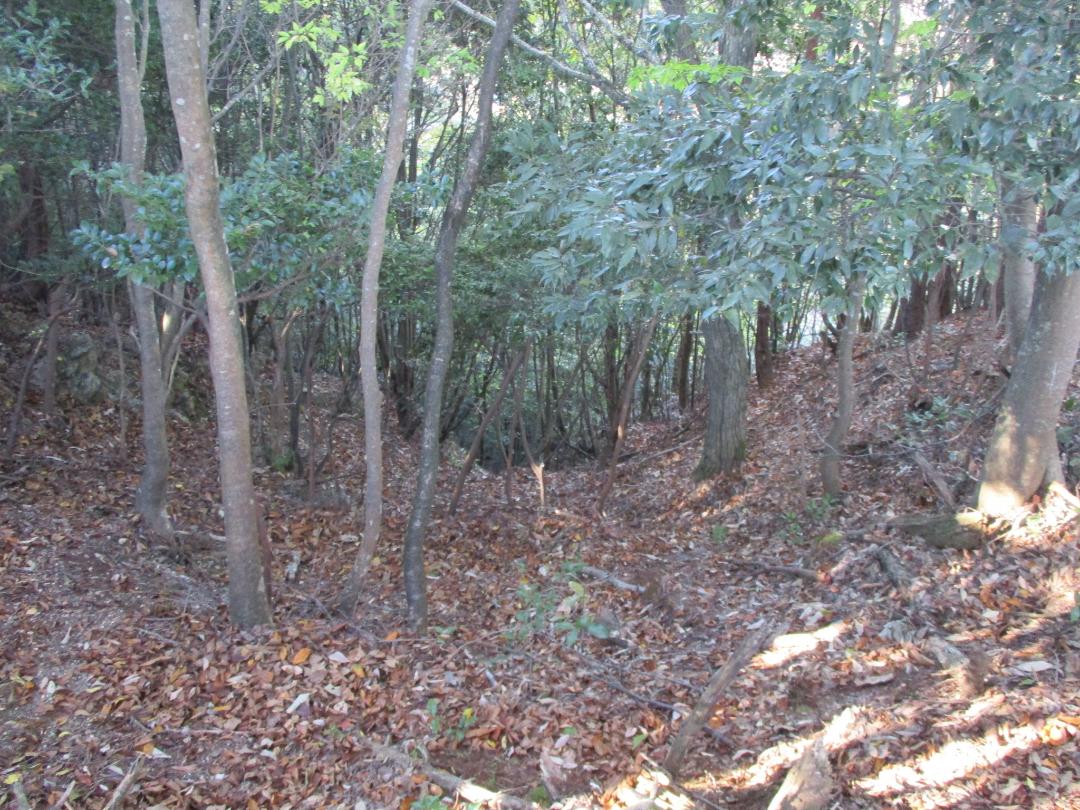
Shoubudake Castle
Shōbudakejō is a yamajiro (mountaintop castle) ruin on the border between Maibara and Hikone municipalities atop Mt Mutsuhara. Ruins consist of earthworks such as berms and trenches. The layout is of a flattened main bailey area protected along the ridge to the rear with a trench complex including h
History
Shōbudakejō was constructed by Imai Sadakiyo, a vassal of the Rokkaku Sadayori, in 1544. In 1552, Rokkaku Sadayori died, and Imai Sadakiyo became a vassal of the Azai Clan; from which time Shōbudakejō was commanded by the Yoshida Clan, vassals of the Rokkaku Clan. It is thought that Shōbudakejō played some role in the battles of Jitōyama (1553) and Futôyama (1561).
Field Notes
Shōbudakejō is a yamajiro (mountaintop castle) ruin on the border between Maibara and Hikone municipalities atop Mt Mutsuhara. Ruins consist of earthworks such as berms and trenches. The layout is of a flattened main bailey area protected along the ridge to the rear with a trench complex including horikiri (ridge-cut trenches) and tatebori (climbing trenches stretching down the mountainside). The rear of the main bailey has dorui (earthen ramparts) heaped up.
I found indications of what appeared to me to be a dobashi (earthen bridge) between trenches. The castle's footprint appears to have spread westward past where a pylon now stands. The construction of the pylon has probably effaced the fort's structure as ruins are hard to discern here; it is also quite overgrown. However, beneath this westerly part of the castle I did walk past a tatebori on my way up. There is a tight row of tatebori also beneath the main bailey facing north, but these earthworks are hard to make out.
Shōbudakejō also has a satellite fortification called 'North Castle' but it is apparently not well developed. I didn't know about it so I didn't check.
| Castle Profile | |
|---|---|
| English Name | Shoubudake Castle |
| Japanese Name | 菖蒲嶽城 |
| Founder | Imai Sadakiyo |
| Year Founded | 1544 |
| Castle Type | Mountaintop |
| Castle Condition | Ruins only |
| Historical Period | Pre Edo Period |
| Artifacts | Horikiri, Tatebori, Dorui |
| Features | trenches |
| Visitor Information | |
| Access | Fujitekku-mae Station on the Hikone-Taga-taisha Line; 30 min walk to trailhead |
| Hours | 24/7 free; mountain |
| Time Required | 45 mins |
| URL | Castle Website |
| Location | Maibara, Shiga Prefecture |
| Coordinates | 35.29915, 136.29838 |
|
|
|
| Admin | |
| Added to Jcastle | 2025 |
| Contributor | ART |
| Admin Year Visited | Viewer Contributed |
| Friends of JCastle | |
| Jōkaku Hōrōki | |
| Kojōshi Tanbō | |
| Jōshi Meguri Bibōroku | |
| Yamajiro Oumi | |


