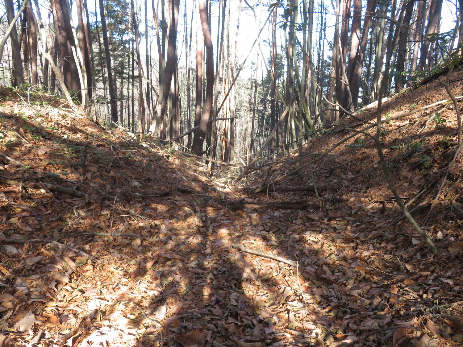
Chikuma-Osakajō was a nice little site to visit. I wasn't sure if I could find anything and so was pleasantly surprised that I was able to identify several features, including evidence of vernacular construction methods. The bulk of the ruins consist of the shukuruwa (main bailey) surrounded by doru
History
Located at an altitude of 990m and a relative height of 220m, Chikuma-Osakajō was a yamajiro fortification used by Osaka Village located on the plain below.
Field Notes
Chikuma-Osakajō was a nice little site to visit. I wasn't sure if I could find anything and so was pleasantly surprised that I was able to identify several features, including evidence of vernacular construction methods. The bulk of the ruins consist of the shukuruwa (main bailey) surrounded by dorui (earth-piled ramparts). The dorui reaches the whole away around the enclosure, being perforated by a koguchi (gate) ruin. It seemed that the path leading from the koguchi would go all the way down to Osaka Village, although I came from the mountain road via Ôike Village. Opposite the koguchi the dorui is tallest, still standing about two meters above the enclosure. At the back of the shukuruwa is a horikiri (trench cutting into the mountain's ridge line). I began climbing further up the mountain but couldn't find anything else apart from a depression on the ridgeline which might've represented a deformed trench ruin.
| Castle Profile | |
|---|---|
| English Name | Osaka Castle (Chikuma) |
| Japanese Name | 筑摩小坂城 |
| Alternate Names | Chikuma-Kosakajō |
| Founder | |
| Year Founded | |
| Castle Type | Mountaintop |
| Castle Condition | Ruins only |
| Historical Period | Pre Edo Period |
| Features | trenches |
| Visitor Information | |
| Access | Nearest Station is Endou Station on the Kamikouchi Line. I cycled. |
| Hours | 24/7 free; mountain |
| Time Required | 40 minutes |
| Location | Yamagata, Nagano Prefecture |
| Coordinates | 36.15394, 137.85487 |
|
|
|
| Admin | |
| Added to Jcastle | 2020 |
| Contributor | ART |
| Admin Year Visited | Viewer Contributed |
| Friends of JCastle | |
| Ranmaru | |


