Dota Castle (Mino)
Dotajō is a yamajiro (mountaintop castle) ruin in Dota Township, Kani Municipality. The layout of the fort consists of three disconnected fortified peaks, with a demaru (outer bailey) to the south, the honmaru (main bailey) to the north, and a small middle bailey in between. Only the honmaru has any
History
Dotajō is said to have been built by Dota Yoshihisa in the late 15th century. The Dota were vassals of the Akechi Clan who lorded Osayamajō to the east. In 1556 the Dota Clan patriarch was slain at Akechijō when it was attacked by Saitō Yoshitatsu, and it seems that Dotajō was taken over by the Ikoma Clan thereafter. The Ikoma fled from the fort during Oda Nobunaga's invasion of Mino in 1565, and Dotajō was abandoned.
Field Notes
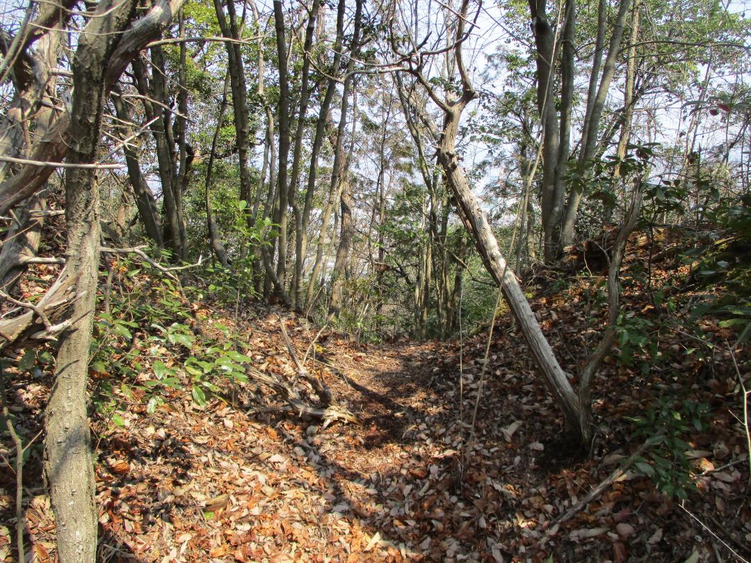
Dotajō is a yamajiro (mountaintop castle) ruin in Dota Township, Kani Municipality. The layout of the fort consists of three disconnected fortified peaks, with a demaru (outer bailey) to the south, the honmaru (main bailey) to the north, and a small middle bailey in between. Only the honmaru has any obvious fortification features, most prominently a horikiri (trench) along the approach. The terraces of the main bailey complex are also structurally significant.
As a castle-visit this site may be underwhelming, but as a casual hike I had a pleasant time (albeit finding the demaru required squeezing through a choked bamboo copse). Initially I missed the start of the trail. It is located underneath the Nijiǵaoka Bridge south of Kanigawa Station. One stoops and side-steps beneath the bridge and between the Kani River. Then the path goes by a waterfall and becomes a pleasant strolling path through the forest along the riverside which goes by interesting octopodal trees and large boulders. There is a climbing trail to the castle site at the end of this path. I wanted to see every bailey so I ascended at a steep halfway point, however. The hillside is terraced in parts and some old stonewalls are piled here and there. These features likely date to after the fort and were used for some sort of hillside agriculture.
Gallery
| Castle Profile | |
|---|---|
| English Name | Dota Castle (Mino) |
| Japanese Name | 美濃土田城 |
| Founder | Dota Yoshihisa |
| Year Founded | Late 15th Century |
| Castle Type | Mountaintop |
| Castle Condition | Ruins only |
| Historical Period | Pre Edo Period |
| Features | trenches |
| Visitor Information | |
| Access | Kanigawa Station on the Meitetsu-Hiromi Line; 5 min walk to trailhead. |
| Hours | 24/7 free; mountain |
| Time Required | 60 mins |
| Location | Kani, Gifu Prefecture |
| Coordinates | 35.41738, 137.00807 |
|
|
|
| Admin | |
| Added to Jcastle | 2025 |
| Contributor | ART |
| Admin Year Visited | Viewer Contributed |
| Friends of JCastle | |
| Jōkaku Hōrōki | |
| Oshiro Tabi Nikki | |
| Kyūtarō no Sengoku Shiro Meguri | |
| Jōkaku Shashin Kiroku | |


