Gongen'yama Castle (Mino)
Gongen'yamajō is a yamajiro (mountaintop castle) ruin in Mitake Township, Kani County. Ruins are chiefly earthwork structures such as baileys, dorui (earthen ramparts) and trenches. The layout of the fort is of a 'C'-shape enclosing a small, flat area like a basin (a residence hall was here perhaps)
History
Gongen'yamajō is thought to have been built circa 1550 by the Oguri Clan. Along with Honjin'yamajō on the neighbouring hilltop, it was known as Mitakejō. In 1552, the Oguri attacked nearby Takayamajō but were pushed back. In repraisal, Mitakejō was attacked by Ozato and Tôyama clansmen, and the Oguri Clan boss fell on his sword.
In 1565 Oda Nobunaga conquered Mino Province and made Mori Yoshinari lord of Kaneyamajō. The Oguri Clan became vassals of the Mori. The Oguri would relocated along with the Mori from Mino, and Mitakejō was abandoned in 1599.
Field Notes
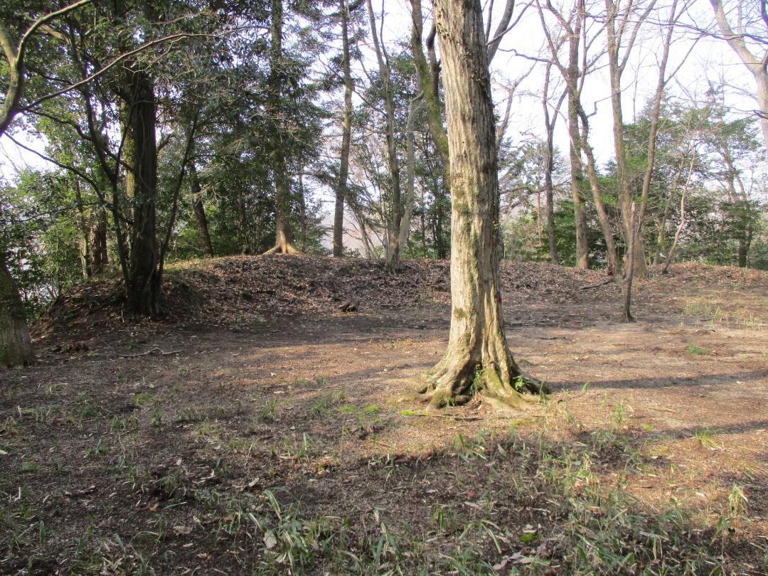
Gongen'yamajō is a yamajiro (mountaintop castle) ruin in Mitake Township, Kani County. Ruins are chiefly earthwork structures such as baileys, dorui (earthen ramparts) and trenches. The layout of the fort is of a 'C'-shape enclosing a small, flat area like a basin (a residence hall was here perhaps), with bailey complexes clustered in the north and south, a trench-like depression cut into the ridge between them.
The south bailey group could be considered the lower castle, as it is somewhat smaller and lower down. It retains a nice section of dorui. The south bailey is also referred to as the demaru (projecting / outer bailey). Below it are indications of trenches.
The north bailey group has the honmaru (main bailey) where there is now a shrine building, Kinpu-jinja, and there are terraced baileys below it except in the north. The south terrace has dorui, including a dorui partition between the terraced baileys, which may have been a gate site. There are falling chute-like trenches in the east. The map I was using (Yogo's) didn't show it, but there was an eastern terrace and tatebori (climbing trench). The hill here is really steep, vertiginous in places, and the earth seems like it wants to collapse, so it's not a safe area.
The ishigaki (stone-pilings) seen on-site appears to be mostly related to the shrine and park, though some bits I found may be quite old. Now the site is maintained mostly as a park attached to the suburban housing estate to the south. Entering from this side the 50m tall castle-mount may not seem as impressive, but this area was probably mountainous in the past, and the castle facing the river below would've been intimidating from the north. The shrine's causeway is accessed from the northwest alongside the Kani River, and I came up this way after walking from Mitake Station. After visiting Gongen'yamajō I continued via the suburban development to the related site of Honjin'yamajō. These twin forts are known together as Mitakejō.
Gallery
| Castle Profile | |
|---|---|
| English Name | Gongen'yama Castle (Mino) |
| Japanese Name | 美濃権現山城 |
| Alternate Names | Mino-Mitakejō (美濃御嵩城) |
| Founder | Oguri Clan |
| Year Founded | c.1550 |
| Castle Type | Mountaintop |
| Castle Condition | Ruins only |
| Historical Period | Pre Edo Period |
| Artifacts | Horikiri, Kuruwa, Dorui |
| Features | trenches |
| Visitor Information | |
| Access | Mitake Station on the Meitetsu-Hiromi Line; 20 min walk to Kinpu-jinja. |
| Hours | 24/7 free; park |
| Time Required | 45 mins |
| Location | Kani, Gifu Prefecture |
| Coordinates | 35.4255, 137.14082 |
|
|
|
| Admin | |
| Added to Jcastle | 2025 |
| Contributor | ART |
| Admin Year Visited | Viewer Contributed |
| Friends of JCastle | |
| Jōkaku Hōrōki | |
| Jōshi Meguri Bibōroku | |
| Yogo | |


