Hagikura Fort
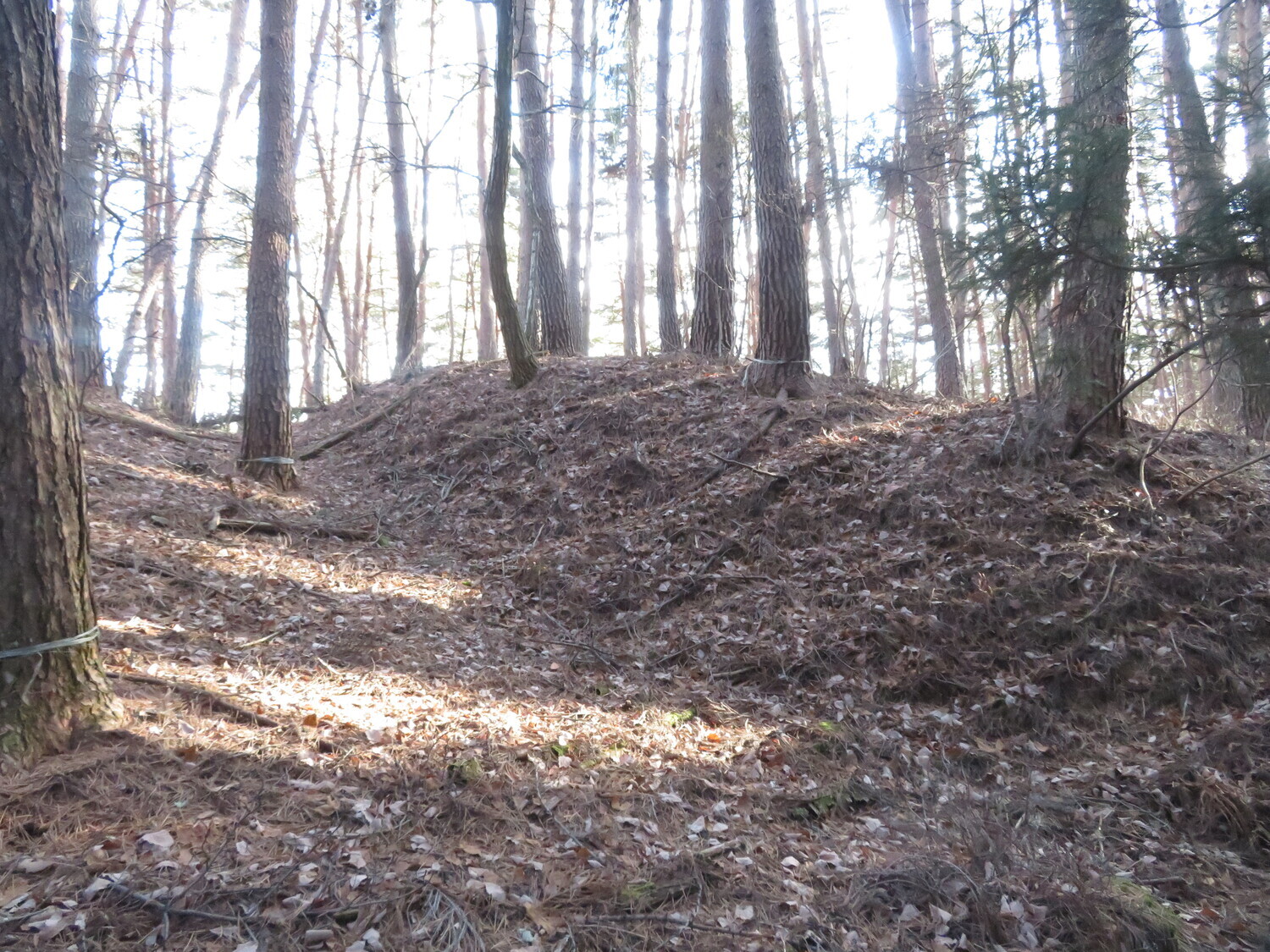
Hagikura-toride was a small satellite fortification of nearby Kaminojō and Shimonojō in Suwa. The ruins are very deformed now but I was able to identify both of its baileys and a horikiri (trench) between them. A small depression indicates a trench to the front of the ninokuruwa (second bailey) as o
History
Hagikura-toride was built as a small satellite fortification of the twin castles of Kaminojō and Shimonojō.
Field Notes
Hagikura-toride was a small satellite fortification of nearby Kaminojō and Shimonojō in Suwa. The ruins are very deformed now but I was able to identify both of its baileys and a horikiri (trench) between them. A small depression indicates a trench to the front of the ninokuruwa (second bailey) as one enters the site too, but it has largely filled up now. The remains of a yokobori (lateral trench) are evident. Probably this trench wrapped the whole way around both the ichinokuruwa (first bailey) and ninokuruwa, but is now degraded with the natural movements of the earth or human activity. On the left (from entering the site) the yokobori's shape is mostly lost, but it can be seen along the whole right side and as it curves around the edge of the ichinokuruwa its embankments are still somewhat in tact, indicating, as well as by its narrow profile, that this was indeed a yokobori rather than part of an obikuruwa (ring bailey).
| Castle Profile | |
|---|---|
| English Name | Hagikura Fort |
| Japanese Name | 萩倉砦 |
| Founder | Kanasashi Clan |
| Year Founded | |
| Castle Type | Mountaintop |
| Castle Condition | Ruins only |
| Historical Period | Pre Edo Period |
| Features | trenches |
| Visitor Information | |
| Access | Shimo-Suwa Station on the Chuo Line; 40 minute walk |
| Hours | 24/7 free |
| Time Required | 30 minutes |
| Location | Shimo-Suwa, Nagano Prefecture |
| Coordinates | 36.08982, 138.079 |
|
|
|
| Admin | |
| Added to Jcastle | 2020 |
| Contributor | ART |
| Admin Year Visited | Viewer Contributed |


