Loading map...
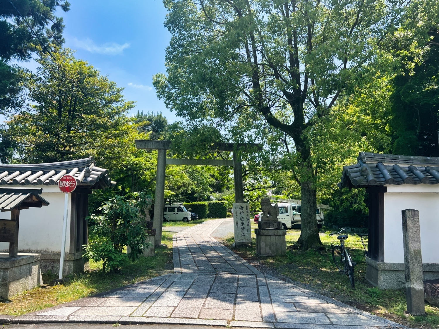
{"format":"leaflet","minzoom":false,"maxzoom":false,"limit":500,"offset":0,"link":"all","sort":["order"],"order":[],"headers":"show","mainlabel":"","intro":"","outro":"","searchlabel":"... further results","default":"","import-annotation":false,"width":"auto","height":"350px","centre":false,"title":"","label":"","icon":"Darkred18.png","lines":[],"polygons":[],"circles":[],"rectangles":[],"copycoords":false,"static":false,"zoom":false,"defzoom":14,"layers":["Esri.WorldTopoMap"],"image layers":[],"overlays":[],"resizable":false,"fullscreen":false,"scrollwheelzoom":true,"cluster":false,"clustermaxzoom":20,"clusterzoomonclick":true,"clustermaxradius":80,"clusterspiderfy":true,"geojson":"","clicktarget":"","showtitle":false,"hidenamespace":true,"template":"InfoWindowProfile","userparam":"","activeicon":"","pagelabel":false,"ajaxcoordproperty":"","ajaxquery":"","locations":[{"text":"\u003Cdiv style=\"width:150px\"\u003E\n\u003Cp\u003E\u003Ca href=\"/view/File:Kaguraoka1.jpg\" class=\"image\"\u003E\u003Cimg alt=\"Kaguraoka1.jpg\" src=\"../images/thumb/1/16/Kaguraoka1.jpg/125px-Kaguraoka1.jpg\" decoding=\"async\" width=\"125\" height=\"94\" srcset=\"../images/thumb/1/16/Kaguraoka1.jpg/188px-Kaguraoka1.jpg 1.5x, ../images/thumb/1/16/Kaguraoka1.jpg/250px-Kaguraoka1.jpg 2x\" data-file-width=\"1500\" data-file-height=\"1125\" /\u003E\u003C/a\u003E\u003C!--MW-PAGEIMAGES-CANDIDATE-0--\u003E\n\u003C/p\u003E\n\u003C/div\u003E","title":"","link":"","lat":35.02333,"lon":135.78602,"icon":"../images/0/06/Darkred18.png"},{"text":"\u003Cdiv style=\"width:150px\"\u003E\n\u003Cp\u003E\u003Ca href=\"/view/File:Kaguraoka2.jpg\" class=\"image\"\u003E\u003Cimg alt=\"Kaguraoka2.jpg\" src=\"../images/thumb/a/a8/Kaguraoka2.jpg/125px-Kaguraoka2.jpg\" decoding=\"async\" width=\"125\" height=\"94\" srcset=\"../images/thumb/a/a8/Kaguraoka2.jpg/188px-Kaguraoka2.jpg 1.5x, ../images/thumb/a/a8/Kaguraoka2.jpg/250px-Kaguraoka2.jpg 2x\" data-file-width=\"1500\" data-file-height=\"1125\" /\u003E\u003C/a\u003E\u003C!--MW-PAGEIMAGES-CANDIDATE-1--\u003E\n\u003C/p\u003E\n\u003C/div\u003E","title":"","link":"","lat":35.02335,"lon":135.7861,"icon":"../images/0/06/Darkred18.png"},{"text":"\u003Cdiv style=\"width:150px\"\u003E\n\u003Cp\u003E\u003Ca href=\"/view/File:Kaguraoka3.jpg\" class=\"image\"\u003E\u003Cimg alt=\"Kaguraoka3.jpg\" src=\"../images/thumb/7/77/Kaguraoka3.jpg/125px-Kaguraoka3.jpg\" decoding=\"async\" width=\"125\" height=\"94\" srcset=\"../images/thumb/7/77/Kaguraoka3.jpg/188px-Kaguraoka3.jpg 1.5x, ../images/thumb/7/77/Kaguraoka3.jpg/250px-Kaguraoka3.jpg 2x\" data-file-width=\"1500\" data-file-height=\"1125\" /\u003E\u003C/a\u003E\u003C!--MW-PAGEIMAGES-CANDIDATE-2--\u003E\n\u003C/p\u003E\n\u003C/div\u003E","title":"","link":"","lat":35.02255,"lon":135.78588,"icon":"../images/0/06/Darkred18.png"},{"text":"\u003Cdiv style=\"width:150px\"\u003E\n\u003Cp\u003E\u003Ca href=\"/view/File:Kaguraoka5.jpg\" class=\"image\"\u003E\u003Cimg alt=\"Kaguraoka5.jpg\" src=\"../images/thumb/b/bc/Kaguraoka5.jpg/125px-Kaguraoka5.jpg\" decoding=\"async\" width=\"125\" height=\"94\" srcset=\"../images/thumb/b/bc/Kaguraoka5.jpg/188px-Kaguraoka5.jpg 1.5x, ../images/thumb/b/bc/Kaguraoka5.jpg/250px-Kaguraoka5.jpg 2x\" data-file-width=\"1500\" data-file-height=\"1125\" /\u003E\u003C/a\u003E\u003C!--MW-PAGEIMAGES-CANDIDATE-3--\u003E\n\u003C/p\u003E\n\u003C/div\u003E","title":"","link":"","lat":35.02285,"lon":135.78587,"icon":"../images/0/06/Darkred18.png"},{"text":"\u003Cdiv style=\"width:150px\"\u003E\n\u003Cp\u003E\u003Ca href=\"/view/File:Kaguraoka4.jpg\" class=\"image\"\u003E\u003Cimg alt=\"Kaguraoka4.jpg\" src=\"../images/thumb/a/a3/Kaguraoka4.jpg/125px-Kaguraoka4.jpg\" decoding=\"async\" width=\"125\" height=\"94\" srcset=\"../images/thumb/a/a3/Kaguraoka4.jpg/188px-Kaguraoka4.jpg 1.5x, ../images/thumb/a/a3/Kaguraoka4.jpg/250px-Kaguraoka4.jpg 2x\" data-file-width=\"1500\" data-file-height=\"1125\" /\u003E\u003C/a\u003E\u003C!--MW-PAGEIMAGES-CANDIDATE-4--\u003E\n\u003C/p\u003E\n\u003C/div\u003E","title":"","link":"","lat":35.02306,"lon":135.78581,"icon":"../images/0/06/Darkred18.png"},{"text":"\u003Cdiv style=\"width:150px\"\u003E\n\u003Cp\u003E\u003Ca href=\"/view/File:Kaguraoka6.jpg\" class=\"image\"\u003E\u003Cimg alt=\"Kaguraoka6.jpg\" src=\"../images/thumb/a/af/Kaguraoka6.jpg/125px-Kaguraoka6.jpg\" decoding=\"async\" width=\"125\" height=\"94\" srcset=\"../images/thumb/a/af/Kaguraoka6.jpg/188px-Kaguraoka6.jpg 1.5x, ../images/thumb/a/af/Kaguraoka6.jpg/250px-Kaguraoka6.jpg 2x\" data-file-width=\"1500\" data-file-height=\"1125\" /\u003E\u003C/a\u003E\u003C!--MW-PAGEIMAGES-CANDIDATE-5--\u003E\n\u003C/p\u003E\n\u003C/div\u003E","title":"","link":"","lat":35.02327,"lon":135.78507,"icon":"../images/0/06/Darkred18.png"}],"imageLayers":[]}


