Kemurino Castle (Murakami Clan Fort Network)
After passing Takatsuyajō (descending) there is a fork in the path. One way goes to Wagōjō and the other which turns off goes to Kemurinojō ("Castle of Smoke"). It's about 10 minutes from the fork to Kemurinojō. This was one of the best sites I visited, along with Wagōjō and Kokūzōjō, due to the imp
History
For more information see my profile on Murakami Kokuzousan Castle.
Field Notes
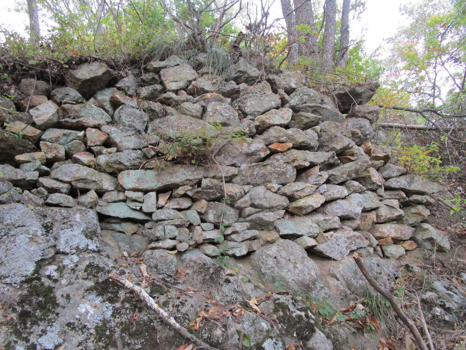
After passing Takatsuyajō (descending) there is a fork in the path. One way goes to Wagōjō and the other which turns off goes to Kemurinojō ("Castle of Smoke"). It's about 10 minutes from the fork to Kemurinojō. This was one of the best sites I visited, along with Wagōjō and Kokūzōjō, due to the impressive trenches between boulders and remaining ishigaki (stone-piled ramparts) to be found. I ended my tour of Murakami castle sites on Mount Kokuzō here.
Kemurinojō is a ridge castle with two integral baileys, around which there remains a lot of stonework, as well as many smaller baileys separated by five deep trenches. The name of the fort may imply that it functioned as a fortified smoke signal tower.
| Castle Profile | |
|---|---|
| English Name | Kemurino Castle (Murakami Clan Fort Network) |
| Japanese Name | 村上煙ノ城 |
| Founder | Murakami Yoshikiyo |
| Year Founded | Sengoku Period |
| Castle Type | Mountaintop |
| Castle Condition | Ruins only |
| Historical Period | Pre Edo Period |
| Artifacts | Kuruwa, Dorui, Horikiri, Tatebori, Ishigaki |
| Features | trenches, stone walls |
| Visitor Information | |
| Access | Nishi-Ueda Station on the Shinano Railway; hiking course (descend from route to Takatsuyajou) |
| Hours | Free; 24/7; Mountain |
| Time Required | 40 minutes |
| Location | Ueda, Nagano Prefecture |
| Coordinates | 36.42424, 138.21223 |
|
|
|
| Admin | |
| Added to Jcastle | 2020 |
| Contributor | ART |
| Admin Year Visited | Viewer Contributed |


