Koyaba Castle
Koyabajō is a yamajiro (mountaintop castle) ruin in Yasaka Township, Ômachi Municipality. Ruins feature dorui (earthen ramparts), kuruwa (baileys), and other earthworks, perhaps including unebori or shōjibori (trenches with smaller partitions within like pits), though this is disputed. The site I
History
Koyabajō is thought to have been a fortification built by the Kitazawa Clan, vassals of the Nishina Clan, and the castellan Kitazawa Kichitsugu is attested. The Nishina Clan protected their easterly mountainous hinterlands during the Sengoku period by having their vassals erect fortifications in their small domains. To the west were various Murakami Clan vassals who were considered a threat. In the end though Takeda Shingen just swept up from the south, his cavalry like an invincible tsunami sweeping over the land.
Field Notes
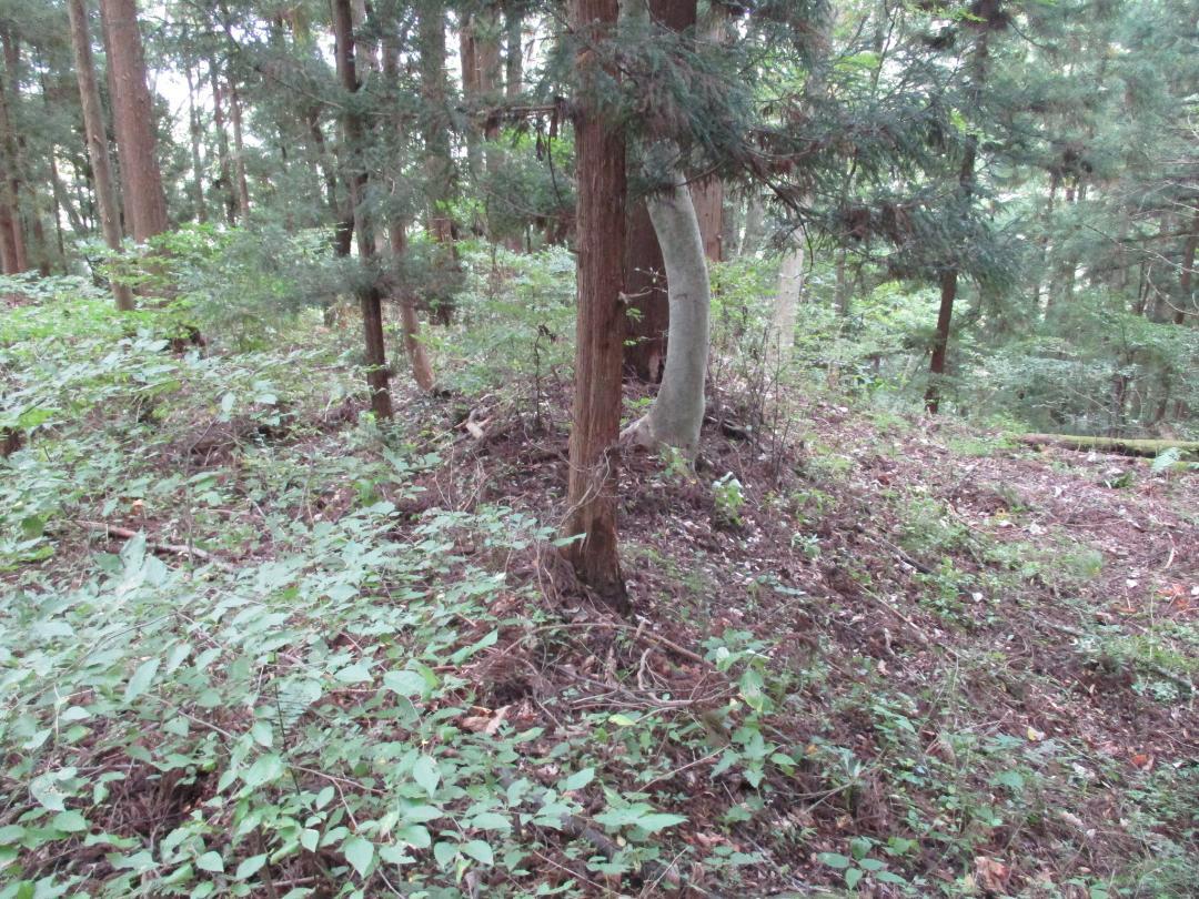
Koyabajō is a yamajiro (mountaintop castle) ruin in Yasaka Township, Ômachi Municipality. Ruins feature dorui (earthen ramparts), kuruwa (baileys), and other earthworks, perhaps including unebori or shōjibori (trenches with smaller partitions within like pits), though this is disputed.
The site I explored is only the northern portion of a proposed wider area. Part of this expanded site is now a factory building. But according to maps, beneath here along the mountainside, moving in a strange lateral fashion we do not usually see at yamajiro, there are many more ruins to the south, and the site is in fact quite vast. There is a middle section with supposed shōjibori, and a sprawling southern section made up of terraces and perhaps dorui.
There's a good chance that I did indeed fully explore this fortification site. I was blown away when I saw the maps. But something was off. Something didn't make sense. The vastness of such a site... yet very little is known about it historically. How could that be, if it was such a vast citidel? That massive fortress would've been the focal point of every conflict in the area, yet we never hear of it. And, the so-called lattice-moats, what of those? The Hōjō built moats like that, but they never made it this far up north. Things just weren't adding up. So I began my research...
Koyabajō appears in old records as 'Koyaba no Furushiro ("Old Castle of Koyaba")'. Two integral baileys are described: one being the 'honjōdaira', or main bailey, and the other being the ninokuruwa (second bailey). If the castle was so vast, then why is it described as having only a couple of baileys? The document this description comes from is the 『古城跡村々書上之控』. I can't find a date for it but it seems to be Edo period. In the Edo period the original castle bloggers began their work, and this appears to be one of their documents. In otherwords, Koyabajō was not subsequently expanded, and very likely only ever consisted of the baileys in the northern section of the mountain (the baileys I covered).
There's a fair chance then that the other ruins, particularly the so-called shōjibori, aren't actually castle ruins, but were built for something else. I can't give my own opinion, unfortunately, but going by pictures online and what castle-explorers have said, it seems these suggested shōjibori look a bit off, and not really like proper moats. The terrain doesn't really resemble a mountain fort's layout at all. It has been suggested that the contours of the mountain today were created by landslides, rather than artificial levelling, and that the strange grid-like earthworks were created as pens for livestock or as storage pits. This, in addition to the entire area being horrendously overgrown with mountain scrub, makes me feel much better about my sticking to the northern section which is more confidently claimed as a fortification site.
| Castle Profile | |
|---|---|
| English Name | Koyaba Castle |
| Japanese Name | 小屋場城 |
| Founder | Kitazawa Clan |
| Year Founded | Sengoku Period |
| Castle Type | Mountaintop |
| Castle Condition | Ruins only |
| Historical Period | Pre Edo Period |
| Artifacts | Dorui, Kuruwa, Hori |
| Features | |
| Visitor Information | |
| Access | Shinano-Ômachi Station on the Ôito Line; rental e-bike |
| Hours | 24/7 free; mountain |
| Time Required | 60 minutes |
| Location | Ômachi, Nagano Prefecture |
| Coordinates | 36.49205, 137.90601 |
|
|
|
| Admin | |
| Added to Jcastle | 2023 |
| Contributor | ART |
| Admin Year Visited | Viewer Contributed |
| Friends of JCastle | |
| Shiro to Kosenjō | |
| Yogo | |


