Moto Castle (Chikuma)
The ruins of Chikuma-Motojō have become distorted with time and decay. It appears that landslides have significantly altered the shape of the castle mount. A thin ridge connects the upper and lower castle sites. The upper has no bailey, probably effaced by the movements of the mountain, but has an i
History
Unknown. It is speculated that the castle's structure has been altered by landslides since its construction in the Sengoku period.
Field Notes
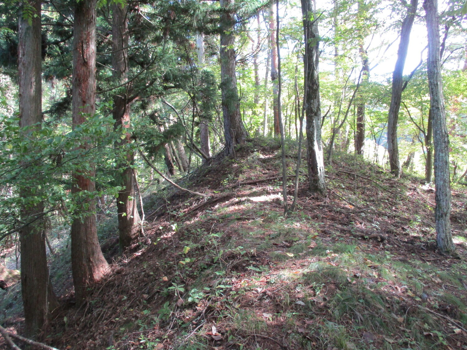
The ruins of Chikuma-Motojō have become distorted with time and decay. It appears that landslides have significantly altered the shape of the castle mount. A thin ridge connects the upper and lower castle sites. The upper has no bailey, probably effaced by the movements of the mountain, but has an intriguing complex of trenches, earthen ramparts and dry moats protecting the rear of the castle. The lower castle has large earthen ramparts which partially ensconce two principal baileys, with a third smaller bailey situated beneath them. Yet there are no trenches here. Beneath this area there is a flat area without defences which forms part of a wide ridge. Where was the main bailey of this castle? Why do the larger flattened areas have the least defences? It’s quite the mystery, but historic landslides would be one solution to the problem. Some smaller ditches can be found at the base of the mountain with old fence posts driven into the piled earth above. This looks like a mini castle ruin, but in fact it represents old defences erected by villagers to repel wild animals like boars and bears.
| Castle Profile | |
|---|---|
| English Name | Moto Castle (Chikuma) |
| Japanese Name | 筑摩本城 |
| Founder | ??? |
| Year Founded | ??? |
| Castle Type | Mountaintop |
| Castle Condition | Ruins only |
| Historical Period | Pre Edo Period |
| Artifacts | Dorui, Horikiri, Karabori |
| Features | trenches |
| Visitor Information | |
| Access | Nearest station is Hirôka Station on the Shinonoi Line |
| Hours | 24/7 free; mountain |
| Time Required | 60 minutes |
| Location | Shiojiri, Nagano Prefecture |
| Coordinates | 36.14191, 138.01002 |
|
|
|
| Admin | |
| Added to Jcastle | 2021 |
| Contributor | ART |
| Admin Year Visited | Viewer Contributed |


