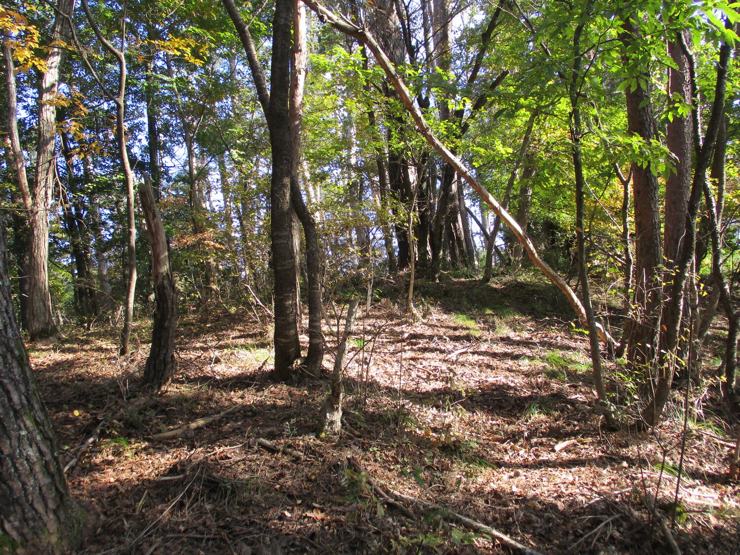
Nabeyamajou Fort
Nabeyamajō-toride is a single bailey fort ruin with some scant traces of terracing to the rear. Climbing from Kemijō I came to a fork in the ridge. The right I followed to Saminejō and Sasanojō. I backtracked and then followed the left, taking a well developed trail down to Nabeyamajō-toride ruins.
History
Nabeyamajō-toride was used as part of a network of fortifications protecting the territory of Aida and guarding the mountain trail that led between valleys (in former times mountain ridges were a frequently used means of going to-and-fro'). As a small fort, it was principally used as a fortified look-out. Although abandoned in the past several decades, there was once a vibrant village community living on this mountainside. The villagers of Gōrindaira may have used Nabeyamajō-toride as a watcher tower and redoubt.
Field Notes
Nabeyamajō-toride is a single bailey fort ruin with some scant traces of terracing to the rear. Climbing from Kemijō I came to a fork in the ridge. The right I followed to Saminejō and Sasanojō. I backtracked and then followed the left, taking a well developed trail down to Nabeyamajō-toride ruins. The path wraps around this site, with the peak rising above; it'd be easy to miss. These minor fort remnants have very little to offer but I came by the site on the way down the mountain to Ametoyajō and Sasagajō. The name is somewhat amusing. It's like it was originally called a "castle" but "toride", meaning "fort", was tacked on the end in admission of how small the site is; the full name could be rendered in English "pot mountain castle fort".
| Castle Profile | |
|---|---|
| English Name | Nabeyamajou Fort |
| Japanese Name | 鍋山城砦 |
| Founder | Aida Clan |
| Year Founded | Sengoku Period |
| Castle Type | Mountaintop |
| Castle Condition | Ruins only |
| Historical Period | Pre Edo Period |
| Artifacts | Kuruwa, Dan-kuruwa |
| Features | |
| Visitor Information | |
| Access | Nearest station is Akashina Station on the Shinonoi Line; hike from Hanami Castle site, turning left at the fork; or forestry road from Aida |
| Hours | 24/7 free; mountain |
| Time Required | 10 minutes |
| Location | Matsumoto, Nagano Prefecture |
| Coordinates | 36.36311, 137.97075 |
|
|
|
| Admin | |
| Added to Jcastle | 2021 |
| Contributor | ART |
| Admin Year Visited | Viewer Contributed |
| Friends of JCastle | |
| Ranmaru | |


