Ohmachi Kitahara Yakata
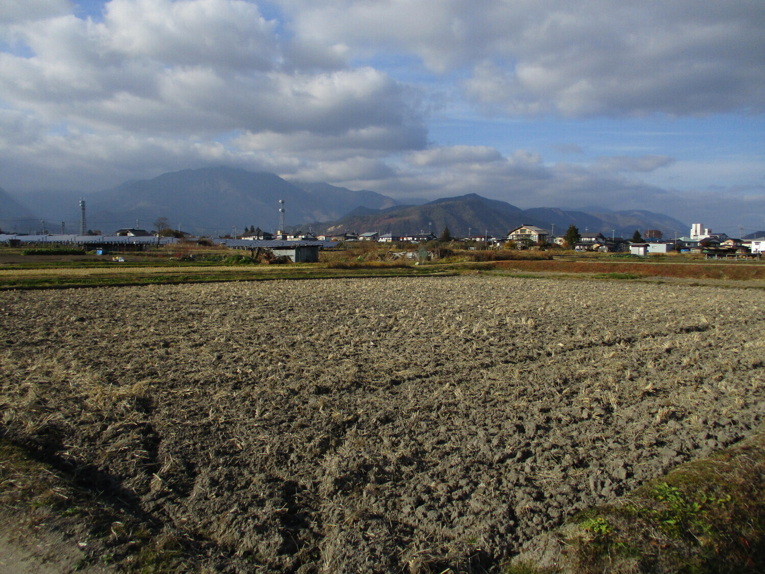
This site, Kitahara-yakata, appears to be shown on Edo period maps as a square plot surrounded by a dry moat. Castle bloggers have identified dorui, but since their time even more development has enveloped the site, and the fields have been filled in gradually with new homes and maisonettes (between
History
See: Nishina Castle
Field Notes
This site, Kitahara-yakata, appears to be shown on Edo period maps as a square plot surrounded by a dry moat. Castle bloggers have identified dorui, but since their time even more development has enveloped the site, and the fields have been filled in gradually with new homes and maisonettes (between 1960 and 2021 the municipality’s population has declined from 41,000 to 25,000, but it seems urbanisation has slowly continued around the town centre). So I wasn’t able to find the dorui. Satellite images of what the site used to look like are our best clue now to identifying where ruins may have been.
| Castle Profile | |
|---|---|
| English Name | Ohmachi Kitahara Yakata |
| Japanese Name | 大町北原館 |
| Founder | Nishina Clan |
| Year Founded | Medieval Era |
| Castle Type | Fortified Manor |
| Castle Condition | Ruins only |
| Historical Period | Pre Edo Period |
| Artifacts | Dorui |
| Features | |
| Visitor Information | |
| Access | Shinano-Ômachi Station on the Ôito Line; 24 minute walk |
| Hours | 24/7; Free; Fields |
| Time Required | 10 minutes |
| Location | Ômachi, Nagano Prefecture |
| Coordinates | 36.5069, 137.8476 |
|
|
|
| Admin | |
| Added to Jcastle | 2021 |
| Contributor | ART |
| Admin Year Visited | Viewer Contributed |


