Takemoto Castle (Mikawa)
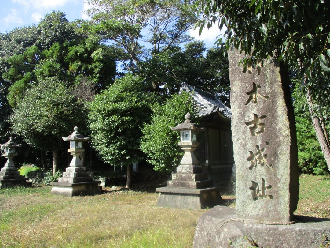
Takemotojō is a gakejiro (clifftop castle) ruin situated on a small rise in Mito Township, Toyokawa Municipality (the koaza (neighbourhood) is Takemoto, and the ôaza (locale) is Hiroishi). The the tip of this shallow plateau, now the site of a small shrine, is the main bailey site, around which ther
History
Takemotojō may have originated in the Nanbokuchō period when Takada Masasue acquired a fief here. His decendents would become the Takemoto Clan, vassals of the Imagawa Clan. In 1560, following the death of Imagawa Yoshimoto at the battle of Okehazama, the Takemoto threw down their swords and became farmers. Another theory is that Takemotojō was first built in 1493 by the Makino Clan. The Makino finally submitted to Tokugawa Ieyasu in 1563, and the Takemoto were their vassals at that time, so it may be the Makino controlled Takemotojō through the Takemoto.
What ruins of Takemotojō we see today likely date to from 1562 (or 1573) when Yamada Harumasa, a vassal of the Nagasawa-Matsudaira, became castellan. He used Takemotojō as a residential compound, and it was likely abandoned by 1590 if not before.
Field Notes
Takemotojō is a gakejiro (clifftop castle) ruin situated on a small rise in Mito Township, Toyokawa Municipality (the koaza (neighbourhood) is Takemoto, and the ôaza (locale) is Hiroishi). The the tip of this shallow plateau, now the site of a small shrine, is the main bailey site, around which there are some indications of dorui (earthen ramparts). Other castle-explorers have identified more dorui further up along the plateau, but this is now on private property and what was formerly the castle's outer baileys is now a residential area.
| Castle Profile | |
|---|---|
| English Name | Takemoto Castle (Mikawa) |
| Japanese Name | 三河竹本城 |
| Founder | Takada Masasue; Yamada Harumasa |
| Year Founded | Nanbokuchō Period; 1562 (or 1573) |
| Castle Type | Hilltop |
| Castle Condition | Ruins only |
| Historical Period | Pre Edo Period |
| Artifacts | Dorui |
| Features | |
| Visitor Information | |
| Access | Aichi-Mito Station on the Tōkaidō Main Line; 25 min walk; or, Kō Station on the Meitetsu-Nagoya Line; 25 min walk. |
| Hours | 24/7 free; shrine |
| Time Required | 10 mins |
| Location | Toyokawa, Aichi Prefecture |
| Coordinates | 34.82583, 137.31939 |
|
|
|
| Admin | |
| Added to Jcastle | 2025 |
| Contributor | ART |
| Admin Year Visited | Viewer Contributed |
| Friends of JCastle | |
| Jōkaku Hōrōki | |
| Umoreta Kojō | |
| Shiseki Yawa | |
| Yogo | |


