Tsukiyodana Castle
Tsukiyodanajō can refer to the entire network of fortifications on the Tsukiyodana tableland, but it can also be used to refer specifically to a fortification site in the south of the 'shelf' known as the karabori (dry moat) ruins. Trekking south from the junction peak between Akiba-toride and Iidaj
History
Tsukiyodanajō was a satellite fortification of Iidajō. For more information see Iida Castle.
Field Notes
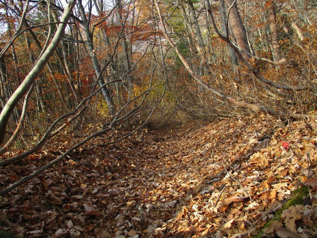
Tsukiyodanajō can refer to the entire network of fortifications on the Tsukiyodana tableland, but it can also be used to refer specifically to a fortification site in the south of the 'shelf' known as the karabori (dry moat) ruins. Trekking south from the junction peak between Akiba-toride and Iidajō, thousands of pallid butterflies fluttering like falling leaves in the autumnal forest about me, I was able to make it to this site, completely unsure that I would find anything. Eventually I noticed a trench appear between the trees, and I knew my quest was validated.
The Tsukiyodana-karabori is a yokobori (horizontal moat) running the length of a gentle peak and the 'saddle'-like hollow beneath it. Rather than bisecting a ridge like many trenches at yamajiro (mountaintop castles), this long trench is used to form a barrier over a wider, flatter area. It is thought to be a satellite fortification of Iidajō to the north, though I couldn't help but notice that it seemed the earth was piled a little higher on the south side. Nevertheless, there's much more land which isn't steep mountainside to the north of the trench.
The trench does not enclose a fort, but is simply a very long and straight trench. I crawled much of the length of it under the bushes and skinny trees which the site is overgrown with. It even began to ascend a ridge, where I thought it might've once been used as a path, before petering out.
The feature was so unusual and mysterious, at least amongst Shinano yamajiro, that I tried to account for it with alternative explanations. As a defence against boars? But was agriculture practiced all the way up here? How about an earthquake or landslide? But that wouldn't create such a rigidly straight line.
It seems the trench was dug as a barrier to any attacker coming from the south (so, the Takeda then), and that the flat space between peaks served as a place for people to hide and protect themselves in an emergency. The presence of well remains reinforces this hypothesis. Whilst the trench by itself may not be so impressive, if the whole tabeland area behind it was used as an encampment, also protected in the north and east by solid forts, then taken together, it might've been held as a considerable fortress with earthworks augmenting naturally defensible features.
| Castle Profile | |
|---|---|
| English Name | Tsukiyodana Castle |
| Japanese Name | 月夜棚城 |
| Alternate Names | 空堀遺跡群 |
| Founder | Obinata Clan / Nishina Clan |
| Year Founded | Early-to-mid' 16th century |
| Castle Type | Mountaintop |
| Castle Condition | Ruins only |
| Historical Period | Pre Edo Period |
| Artifacts | Yokobori |
| Features | trenches |
| Visitor Information | |
| Access | Hike from Akiba-toride via the 1,013m peak, heading south |
| Hours | 24/7 free; mountain |
| Time Required | 20 minutes |
| URL | Castle Website |
| Location | Hakuba, Nagano Prefecture |
| Coordinates | 36.6498, 137.83846 |
|
|
|
| Admin | |
| Added to Jcastle | 2023 |
| Contributor | ART |
| Admin Year Visited | Viewer Contributed |


