Tsutagi Castle
Tsutagijō is a yamajiro (mountaintop castle) ruin in Fujimi Township, Suwa County. There is a hill between a cliff and a plateau here called Shiroyama (‘Castle Mount’), though it may not have been part of the fort known as Tsutagijō, as the ridge does not appear to have been worked. At the end of th
History
Tsutagijō is traditionally thought to have been the castle of Baba Nobufusa. Since it is a small fort it may have served as a watchtower or signal tower.
See also Suwa-Maruyama-noroshidai (Suwa Maruyama Noroshidai).
Field Notes
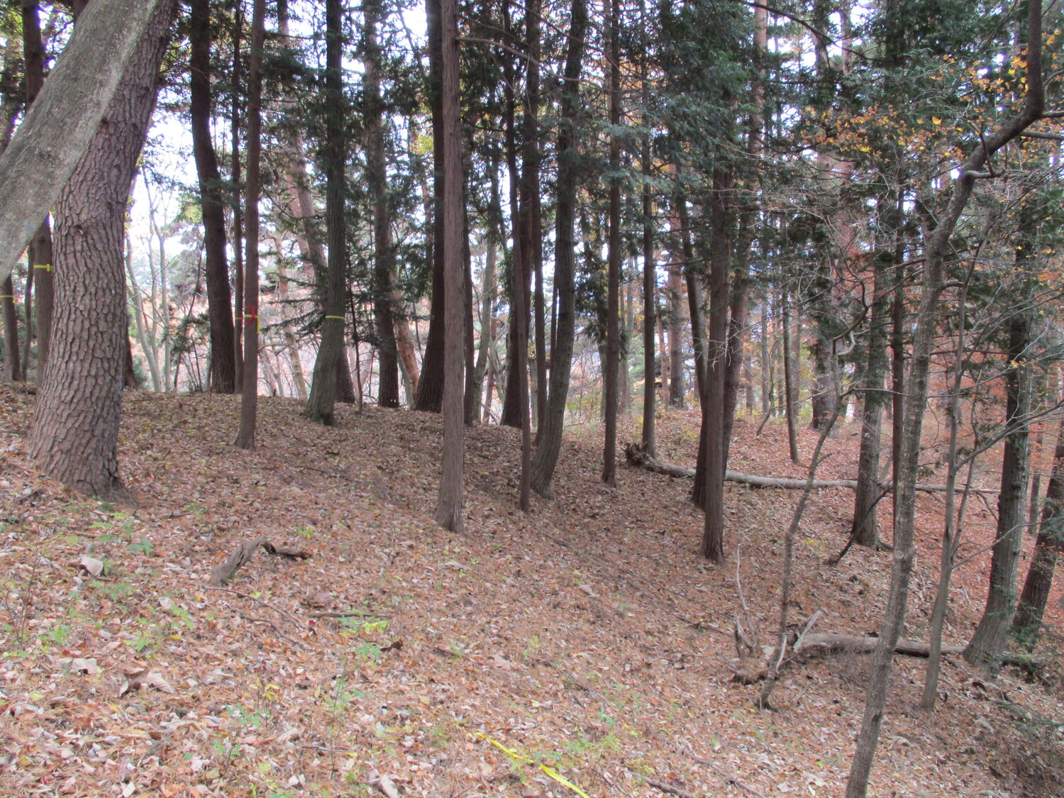
Tsutagijō is a yamajiro (mountaintop castle) ruin in Fujimi Township, Suwa County. There is a hill between a cliff and a plateau here called Shiroyama (‘Castle Mount’), though it may not have been part of the fort known as Tsutagijō, as the ridge does not appear to have been worked. At the end of the ridge the earth has been sculpted into a single bailey fort complex, however. There is a single bailey here with possibly some terraced strips below. The most obvious feature is that the fort’s rear is protected by a horikiri (trench dug into the ridge).
Tsutagijō looked easy to get to but it was a bit tricky. I ended up walking between a wide expanse of rice paddies from the plateau side to reach the hill which rose up behind a fence to keep animals out; luckily there was a gate in the fence in a convenient place. In order to descend I had to get over a net like barrier to stop falling rocks. Nothing’s ever easy!
| Castle Profile | |
|---|---|
| English Name | Tsutagi Castle |
| Japanese Name | 蔦木城 |
| Founder | Baba Nobufusa |
| Year Founded | 16th century |
| Castle Type | Mountaintop |
| Castle Condition | Ruins only |
| Historical Period | Pre Edo Period |
| Artifacts | Horikiri, Dorui, Koshikuruwa, Kuruwa, Noroshidai |
| Features | trenches |
| Visitor Information | |
| Access | Shinano-Sakai Station on the Chūō Main Line; 25 minute walk |
| Hours | 24/7 free; mountain |
| Time Required | 20 minutes |
| Location | Fujimi, Nagano Prefecture |
| Coordinates | 35.87142, 138.27621 |
|
|
|
| Admin | |
| Added to Jcastle | 2022 |
| Contributor | ART |
| Admin Year Visited | Viewer Contributed |
| Friends of JCastle | |
| Yogo | |


