Mamushizuka Castle
Mamushiźukajō is a hirayamajiro (hill-and-plainsland castle) ruin in Asana township, Fukuroi Municipality. Of this once sprawling fort few ruins remain, but these remnants give an impression of the scale of the fort. Earthen ramparts and a karabori (dry moat) segment can be found in what was the cas
History
Mamushiźukajō was one of two castles, along with Takatenjinjō, used by Ogasawara Nagataka, a vassal of the Imagawa Clan, to enforce Imagawa authority in Tôtōmi Province. Tokugawa Ieyasu captured Mamushiźukajō in 1574 and installed Ôsuga Yasutaka as castellan. The castle was then used as a base from which to launch attacks on Takatenjinjō following Takeda Katsuyori's capture of that fortress. In 1580, Ôsuga was posted to Yokosukajō, and Takariki Kiyonaga took over as castellan of Mamushiźukajō; Takatenjinjō fell the following year. After the final defeat of the Takeda Clan in 1582, Mamushiźukajō was decommissioned and gradually reclaimed by peasants.
Field Notes
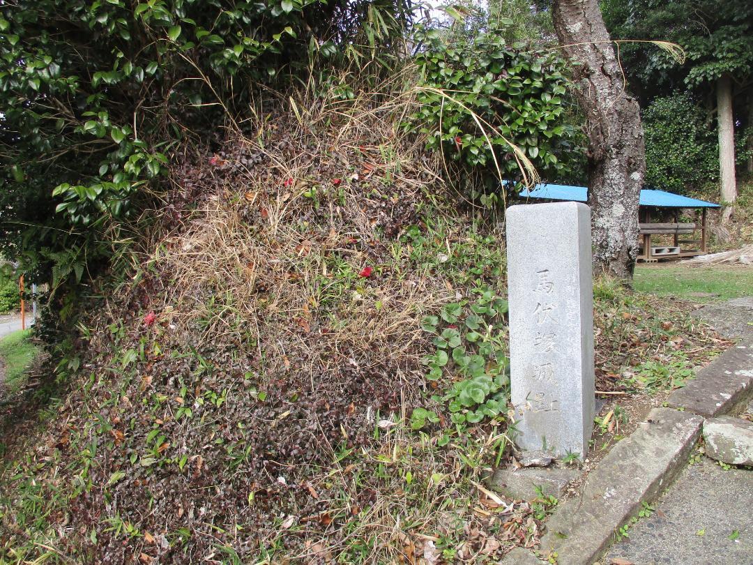
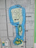
Mamushiźukajō is a hirayamajiro (hill-and-plainsland castle) ruin in Asana township, Fukuroi Municipality. Of this once sprawling fort few ruins remain, but these remnants give an impression of the scale of the fort. Earthen ramparts and a karabori (dry moat) segment can be found in what was the castle's southern bailey where there is now a explanatory board about the castle. The southern bailey is now the site of a Suwa shrine. The rest of the castle's footprint can be made out looking at satellite imagery, but it is difficult to explore as it has been developed over with fields and farmsteads.
Even though Mamushiźukajō is now about 5km from the sea, it used to be surrounded by a boggy coastal marsh which was used for water transportation and as moats surrounding the castle's baileys. The baileys were fashioned from small hills and surrounded with earthen ramparts. They were then connected to each other in a row and to the mainland via dobashi (earthen bridges). The surrounding swampland has long since been reclaimed as agricultural land, but the castle's baileys became the site of a village called Okayama established on the highground.
'Mamushiźukajō' means 'Horse Prone Mound Castle', but the reading for 'horse lying down' is unusual, and homophonous with 'mamushi', meaning 'pit viper'; it may be an example of kakushi-kotoba (argot).
| Castle Profile | |
|---|---|
| English Name | Mamushizuka Castle |
| Japanese Name | 馬伏塚城 |
| Founder | Ogasawara Nagataka |
| Year Founded | Sengoku Period |
| Castle Type | Hilltop |
| Castle Condition | Ruins only |
| Historical Period | Pre Edo Period |
| Artifacts | Kuruwa, Karabori, Dorui, &c. |
| Features | trenches |
| Visitor Information | |
| Access | Okayama bus stop on the Iwata-Kakegawa Road; 1 minute walk |
| Hours | 24/7 free; shrine |
| Time Required | 20 minutes |
| Location | Fukuroi, Shizuoka Prefecture |
| Coordinates | 34.71082, 137.9337 |
|
|
|
| Admin | |
| Added to Jcastle | 2024 |
| Contributor | ART |
| Admin Year Visited | Viewer Contributed |
| Friends of JCastle | |
| Yogo | |
| Jōkaku Hōrōki | |
| Kojōdan | |
| Shiseki Yawa | |


